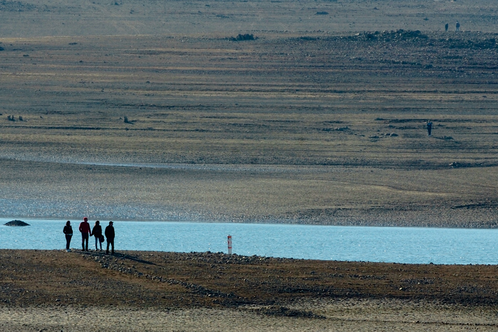
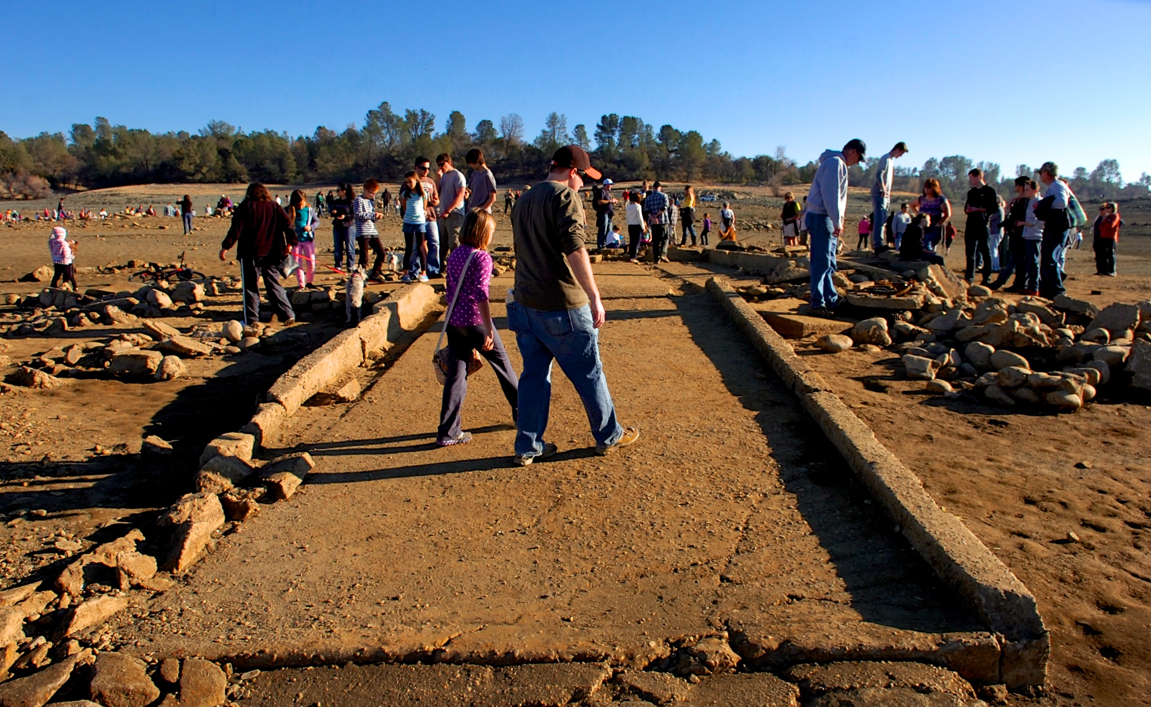
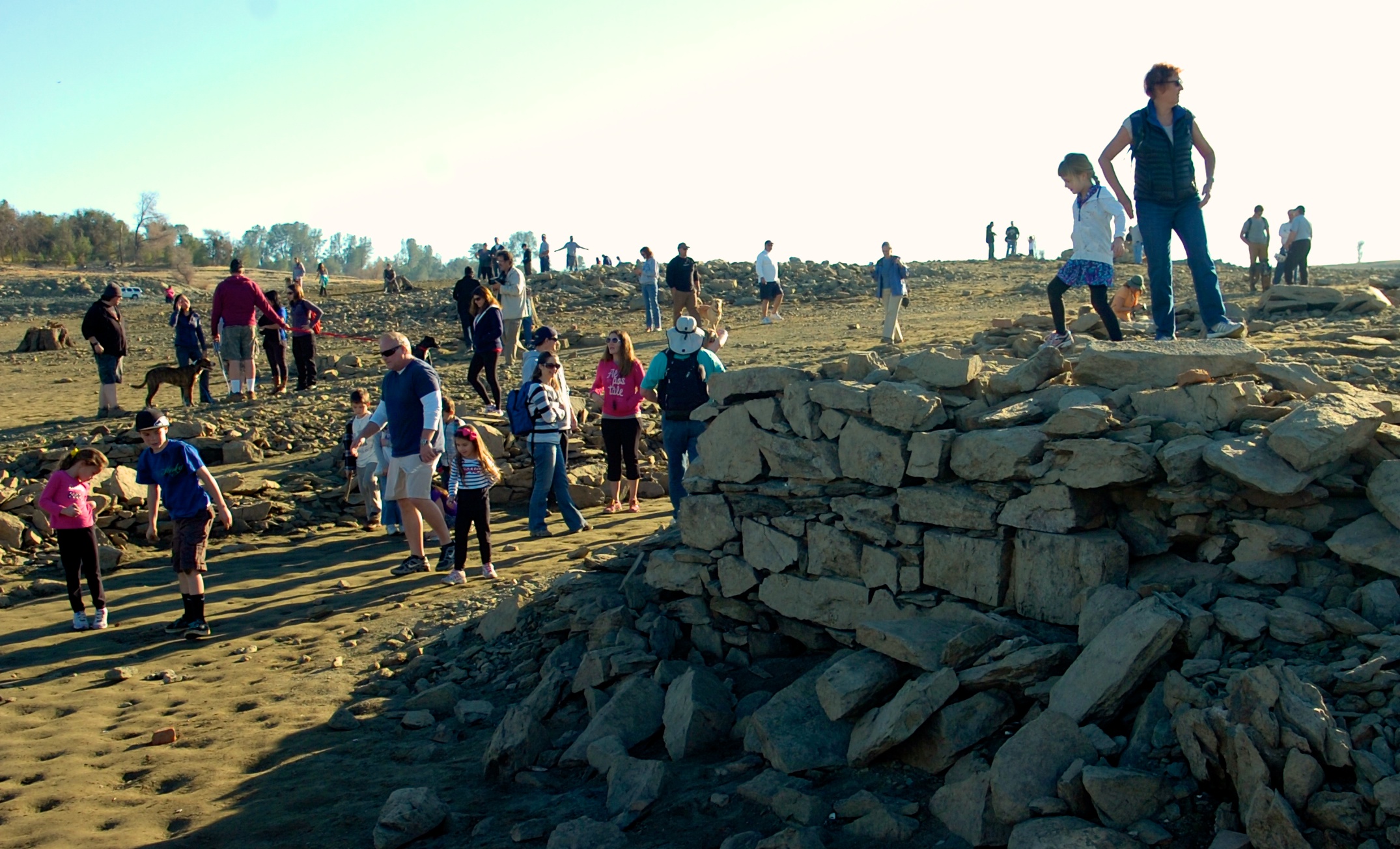
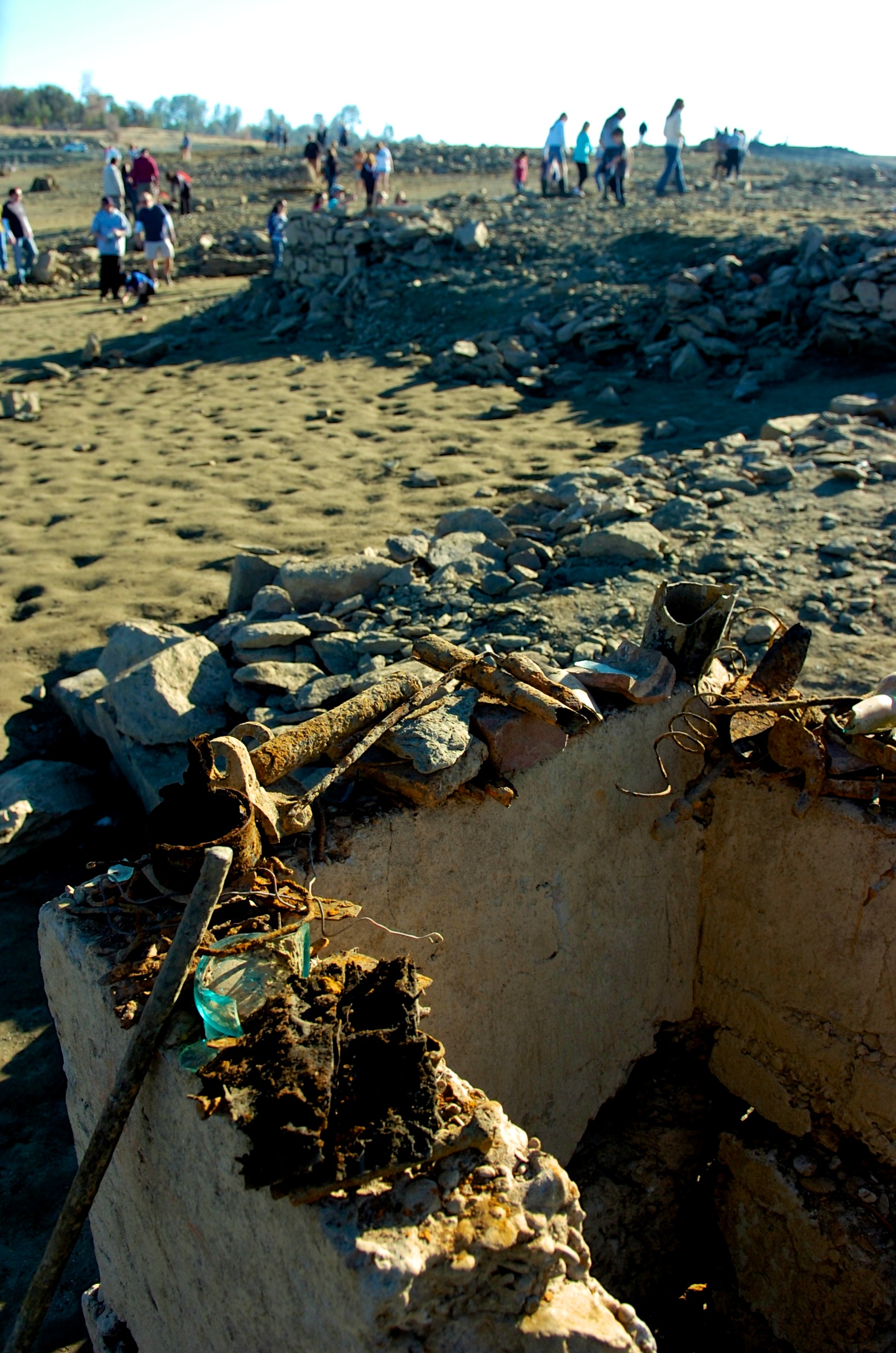
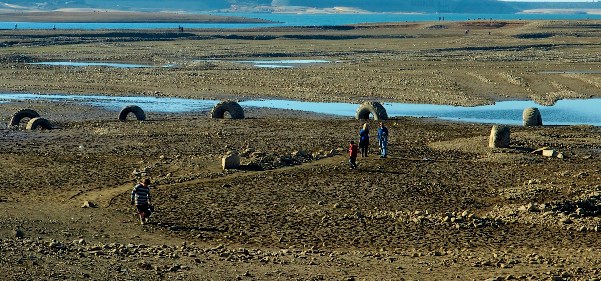
Category Archives: Water

Mandatory Water Conservation For Sacramento?

City staff says low levels at Folsom Lake on the American River, and a Sacramento River water treatment plant that’s offline, created the need for mandatory conservation.

Jessica Hess with the City says a declaration on Tuesday night by the council would trigger a mandatory 20-percent reduction in water use by everyone in the city.

“We estimate that 20-percent reduction for most single-family residences is gonna come to about 84 gallons per day,” she says. “And that’s really something that folks can achieve by making small and simple changes to what they do every day.”

The City says there are many ways businesses can help conserve.

“We’d like them to consider things like asking customers regarding serving water before they serve it” Hess says. “We’re also asking them to consider things like when they wash the sidewalks out in front of their businesses to limit that to what’s really necessary for public health and safety.”

Hess says people at home can limit the use of bathroom faucets and save up to two-and-a-half gallons per minute.

Running a full load of laundry can save up to 50 gallons of water.

Many people can hit the target by reducing lawn watering to one day-a-week.

“We are down to a one day-a-week watering on Saturday or Sunday only,” says Hess. “So if our inspectors are out and see someone watering on a weekday, they’ll be stopping to first educate and then to  provide a notice of violation.”

Hess says fines could reach $1,000 for multiple offenses.

Folsom is already under a mandatory 20-percent reduction order.

San Juan and Sacramento County water districts are still asking for voluntary conservation.

More at CapRadio.org>>>

American River Flows At Lowest Level In 21 Years

Fishermen, bicyclists and hikers trudged along the American River on Saturday, surveying the historically low flows and wondering about the impact.

In response to extreme dry conditions, the U.S. Bureau of Reclamation cut water releases from Folsom Dam into the river gradually last week from 1,100 cubic feet per second to 500 cfs Friday. About half a million residents in suburban Sacramento rely on the dam for water.

The strict water-conservation measures have created the lowest flows anyone has seen in a generation, which stands in contrast to the median flow for January of 1,700 cfs for the past 15 years.

At William Pond Park, Carmichael native Amy Musial, 32, snapped a couple photos of the exposed rocks and islands.

“It’s crazy,” said Musial, who grew up playing in the river. “I’ve never seen it this low.”

Musial ventured out with her husband and 3-year-old son just to see the water level.

“We would be standing in a few feet of water here,” Musial said, “but not anymore.”

The last time American River flows were dropped to this level was in 1993, according to the Bureau of Reclamation, which operates Folsom and Nimbus dams on the river.

More at MercedSunStar.com >>>

State Urged To Close American River To Steelhead Fishing

State officials are being urged to close fishing seasons on the American River in the Sacramento area to protect steelhead and salmon from fishing pressure as the river declines amid drought conditions.

The Sierra Salmon Alliance on Wednesday urged the California Department of Fish and Wildlife to close the fishery on the river. Tyrone Gorre, co-founder of the group, said he is concerned that as the river shrinks, steelhead migrating upstream to spawn will be unable to avoid the many anglers trying to hook them.

In addition, he fears fish eggs already in the river, spawned by fall-run Chinook salmon, will be trampled and killed by anglers walking in the river.

“There’s so much extreme pressure on the river that there’s no place for the fish to hide,” said Gorre, also a professional fishing guide on the river for 30 years. “We need to have swift and immediate action to accommodate those fish. It’s just a really critical situation.”

Salmon season has ended, but steelhead fishing is normally allowed year-round.

More at MercedSunStar.com >>>

State Water Officials Considering Drought Declaration

Kayakers row near the area of Folsom Lake formerly known as Dyke 8.
Kayakers row near the area of Folsom Lake formerly known as Dyke 8. Photo: AmericanRiverWildlife.com

The California Department of Water Resources is planning to draft an emergency drought declaration for Gov. Jerry Brown’s consideration as dry winter conditions continue.

DWR Director Mark Cowin told the California Board of Food and Agriculture at a meeting Tuesday that his agency is weighing whether to present the governor with a drought declaration. Spokeswoman Nancy Foley said that declaration could be forthcoming “within a couple weeks.”

“We will likely, given the circumstances, make a recommendation for a drought declaration,” Foley said. “The snow survey last Friday was so dismal and there doesn’t seem to be any storms on the horizon, so it just seems we’ve got to start preparing a drought declaration.”

She was referring to the first regular snow survey of the winter season, conducted by DWR on Jan. 3 at locations throughout the Sierra Nevada. It found the snowpack at 19 percent of average on that date. In the five days since, the snowpack has shrunk to 17 percent.

This comes after two dry years, which left many reservoirs in the state depleted. Folsom Reservoir in the Sacramento area was at 18 percent of capacity on Tuesday. Water agencies that depend on the reservoir have begun enacting water conservation orders. The U.S. Bureau of Reclamation has cut flows into the American River to levels not seen in 20 years.

More at MercedSunStar.com >>>

Drought Prompts Deep Cuts In American River Flows

Water levels are at historic low levels at Folsom Lake. Photo: AmericanRiverWildlife.com
The water is at historically low levels in Folsom Lake. Photo: AmericanRiverWildlife.com

By the end of this week, water flows in the American River will be lower than anyone has seen in a generation. And soon, many residents of suburban Sacramento could be banned from watering their lawns.

Unusual winter drought conditions are driving Sacramento-area water agencies to make difficult choices. Starting today, the effects will be visible to anyone who walks, fishes or boats along the American River, one of the largest in California.

Early this morning, the U.S. Bureau of Reclamation was expected to cut water releases from Folsom Dam into the river from 1,100 cubic feet per second to 800 cfs. This will drop the river’s elevation within its bed by about 6 inches.

It won’t stop there. Each night this week until Friday, dam releases will be cut in stages until flows reach 500 cfs. At that point, it will likely be easy to walk across the river in many locations.

Such flows have not been seen in the American River since January 1993, according to Reclamation, which operates Folsom and Nimbus dams on the river. In comparison, the median January flow in the river over the past 15 years was about 1,700 cfs.

The reduction is intended to prolong the water supply stored behind Folsom Dam, a source of drinking water for some 500,000 people in the suburban Sacramento area. With no rain in the forecast, and the water level behind the dam shriveled to 18 percent of capacity after a dry start to winter, officials said dramatic conservation efforts are necessary.

Reclamation officials reached the decision on Friday after meeting with area water providers and wildlife agencies.

“The watershed is so dry right now, there’s such limited snowpack and the lake is already so low that we’re trying to look ahead and be conservative,” said Shana Kaplan, a Reclamation spokeswoman. “I think everybody’s trying to be as proactive as we can.”

Dropping the river so low will be deadly to some fall-run Chinook salmon eggs now waiting to hatch from nests, or redds, in the gravel riverbed. Tom Gohring, executive director of the Sacramento Water Forum, said flows of only 500 cfs could mean that 10 to 15 percent of the redds in the river will be lost because they will go dry as the river drops.

More at MercedSunStar.com >>>


Mormon Island Exposed

Mormon Island
Undated Photo; Mormon Island

During the height of the gold rush Mormon Island was once a thriving gold mining camp. In its heyday, the town had 2500 residents (mostly Mormon), 4 hotels, 7 saloons, and 1 school.

Exposed foundations and other artifacts draws hundreds of curious explorers. Photo: AmericanRiverWildlife.com

The town dwindled along with gold fever and by the 1950s there were no more than a few residents left. What was left of the town was eventually flooded in 1955 with the creation of Folsom Lake.

As California's drought continues more pre-dam artifacts are exposed by the receding water.
As California’s drought continues more pre-dam artifacts are exposed by the receding water.  Photo: AmericanRiverWildlife.com

The only remnants of this town are sometimes visible during extreme drought years, as foundations of houses lie underwater.There is a relocation cemetery located south of the lake, where residents were moved before the lake was filled. A few unknown residents of Prairie City were also transported there when they were discovered during Intel’s onramp construction.

Rusty nails, fence parts, glass and other items are displayed on the exposed foundations of Mormon Island.
Rusty nails, fence parts, glass and other items are displayed on the exposed foundations of Mormon Island. Photo: AmericanRiverWildlife.com

Mormon Island was also known at the time as Mormon Diggins, Mormon Diggings, and Lower Mines.

Mormon Island artifacts.
Mormon Island artifacts. Photo: AmericanRiverWildlife.com
The lake bed near the Dyke 8 area of Folsom Lake show evidence of large scale construction.
The lake bed near the Dyke 8 area of Folsom Lake show evidence of large scale construction. Photo: AmericanRiverWildlife.com

If you go:

  • Everything you’ll see is state park property and it is illegal to remove it.
  • There’s a parking fee at most access points. State park info here: http://www.parks.ca.gov/?page_id=500
  • The Dyke 8 entrance off of East Natoma and Briggs Ranch gets you close to the water but not close to the artifacts.
  • Brown’s Ravine is the most popular parking spot and offers a short hike to the ruins and remnants
  • Wear proper shoes and clothing. The conditions range from steep, slippery slopes to wet muddy conditions.
  • Bring water.

Mormon Island Settlement Revealed In Folsom Lake

The city of Folsom has reported that low lake levels have revealed a settlement known as Mormon Island that hasn’t been seen since 1955.

KCRA in Sacramento reported that the island town, which is usually under Folsom Lake, grew out of a larger Mormon settlement on the American River during the Gold Rush.

“Mormon Island thrived during mining years with as many as 2,500 people, complete with four hotels, a school and seven saloons, according to some historical accounts,” KCRA reported.

Sightseers and amateur archeologists are now exploring the island, and they reported seeing stone foundations, a capped well, rusty nails and other debris.

The area was intentionally flooded in 1955 when Folsom Dam was built to create Folsom Lake. Most of the town is still under the lake.

From ksl.com >>>

Placer Water Has 2014 Supply Concerns

The Placer County Water Agency is saying that a good rainfall year is needed in 2014 to restock mountain reservoirs.

And the Water Agency is already looking at the possibility of water-use reductions.

The Auburn-based agency is expressing concerns as a very dry 2013 draws to a close. Tony Firenzi, deputy director of technical services, said a dry 2014 could cause problems.

“Right now, our water storage is at 90 percent of average for this time of year, so we’re in good shape for the time being,” Firenzi said, “but we’re very concerned about the continuing dry forecasts.”

Looking into the coming year’s projections, Firenzi said better-than-average precipitation would be needed to restore average storage levels on the upper Yuba-Bear and American river watersheds. Placer Water depends on the two watersheds for its surface water supplies.

Water storage in reservoirs that serve Water Agency customers has remained at or near average levels despite back-to-back unusual water years. The 2011-12 water year (measured from Oct. 1 to Sept. 30) was dry but ended near average after the so-called “Miracle March” in spring 2012. It was followed by a 2012-13 water year that produced near record precipitation in November and December 2012 but then turned unusually dry.

“In fact, the 2013 calendar year is on track to close as one of the driest ever measured, which is the basis for serious concern as we look ahead at water availability for 2014,” Firenzi said.

More at AuburnJournal.com >>>

Central Valley Salmon Runs Could Be Restored

Salmon advocates say they know how to restore sustainable salmon runs in the Central Valley – 26 different ways.

The Golden Gate Salmon Association says two years of study have resulted in a 26-project salmon rebuilding plan to reverse the steep decline of California’s four salmon runs, including two considered endangered and threatened under the Federal Endangered Species Act — the winter and spring runs.

The fall and late fall-runs, which support the sport and commercial fishery, declined by 90 percent and 87 percent respectively from 2001 to 2011, the association says.

“The salmon problems are not in the ocean but rather in the freshwater rivers where salmon reproduce and then try to migrate downstream through the many hurdles that exist on their journey to ocean waters,” says GGSA Chairman Roger Thomas.

The 26 projects are divided into three tiers to prioritize completion. In April the first eight high priority projects were selected with most underway or in the pipeline for 2014. The second tier is currently being considered by federal agencies for implementation.

The rebuilding plan can be broadly broken into two categories of projects, says the association. The first calls for better flows for salmon in the Sacramento and San Joaquin rivers and the Sacramento-San Joaquin Delta. The second are projects aimed at healing manmade structural impediments built in and along the rivers.

The loss of many baby salmon at the pumping facilities that divert water from the Delta for export south is another problem the GGSA says its plans address.

More at CentralValleyBusinessTimes.com >>>